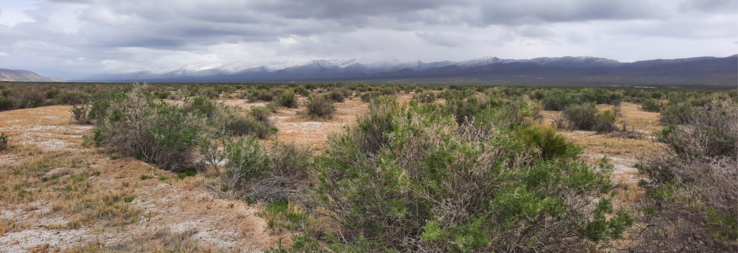
Harney and Malheur County are the two largest counties in Oregon and make up the majority of what is considered Southeast Oregon bordered by Nevada and Idaho. Harney County has a quality of life that provides something for everyone by offering world-class recreation such as fishing, hunting, hiking, birdwatching, and enjoying the scenic beauty of the Malheur National Forest and Malheur National Wildlife Refuge, as well as the breathtaking views of the Steens Mountain Wilderness managed by the Burns Bureau of Land Management District. Malheur County is 94 percent rangeland, two-thirds of which is controlled by the Federal Bureau of Land Management, Malheur Field Office. Today, irrigated fields in the county’s northeastern corner, known as Western Treasure Valley, are the center of intensive and diversified farming. For more information about the recreational opportunities in Southeast Oregon check out Visit Eastern Oregon.
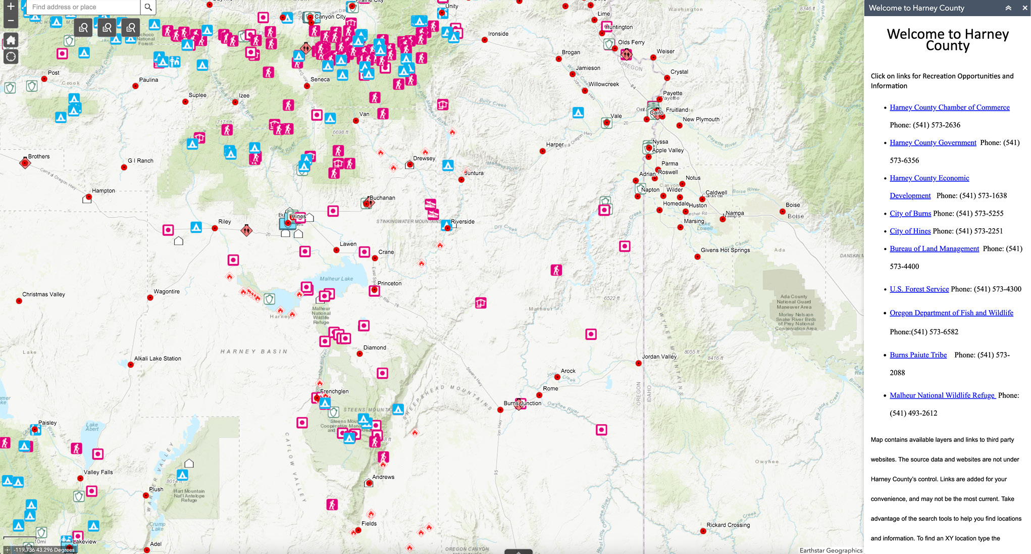
Interactive Map of Southeast Oregon
(Click Map to Explore)
About Harney County Oregon
Additional Links
High Desert PartnershipLearn about the various collaboratives serving the community of Harney County.